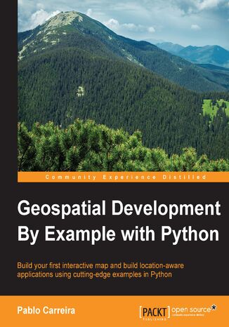
Geospatial Development By Example with Python. Build your first interactive map and build location-aware applications using cutting-edge examples in Python Pablo Carreira

- Autor:
- Pablo Carreira
- Serie wydawnicze:
- By Example
- Wydawnictwo:
- Packt Publishing
- Ocena:
- Stron:
- 340
- Dostępne formaty:
-
PDFePubMobi
Opis
książki
:
Geospatial Development By Example with Python. Build your first interactive map and build location-aware applications using cutting-edge examples in Python
Much more than simple scripts, you will write functions to import data, create Python classes that represent your features, and learn how to combine and filter them.
With pluggable mechanisms, you will learn how to visualize data and the results of analysis in beautiful maps that can be batch-generated and embedded into documents or web pages.
Finally, you will learn how to consume and process an enormous amount of data very efficiently by using advanced tools and modern computers’ parallel processing capabilities.
Wybrane bestsellery
Packt Publishing - inne książki
Dzięki opcji "Druk na żądanie" do sprzedaży wracają tytuły Grupy Helion, które cieszyły sie dużym zainteresowaniem, a których nakład został wyprzedany.
Dla naszych Czytelników wydrukowaliśmy dodatkową pulę egzemplarzy w technice druku cyfrowego.
Co powinieneś wiedzieć o usłudze "Druk na żądanie":
- usługa obejmuje tylko widoczną poniżej listę tytułów, którą na bieżąco aktualizujemy;
- cena książki może być wyższa od początkowej ceny detalicznej, co jest spowodowane kosztami druku cyfrowego (wyższymi niż koszty tradycyjnego druku offsetowego). Obowiązująca cena jest zawsze podawana na stronie WWW książki;
- zawartość książki wraz z dodatkami (płyta CD, DVD) odpowiada jej pierwotnemu wydaniu i jest w pełni komplementarna;
- usługa nie obejmuje książek w kolorze.
Masz pytanie o konkretny tytuł? Napisz do nas: sklep@ebookpoint.pl
Książka drukowana













Oceny i opinie klientów: Geospatial Development By Example with Python. Build your first interactive map and build location-aware applications using cutting-edge examples in Python Pablo Carreira
(0)