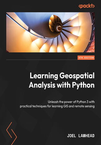
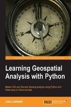
Learning Geospatial Analysis with Python. Unleash the power of Python 3 with practical techniques for learning GIS and remote sensing - Fourth Edition Joel Lawhead

- Autor:
- Joel Lawhead
- Serie wydawnicze:
- Learning
- Wydawnictwo:
- Packt Publishing
- Ocena:
- Stron:
- 432
- Dostępne formaty:
-
PDFePub
Opis
książki
:
Learning Geospatial Analysis with Python. Unleash the power of Python 3 with practical techniques for learning GIS and remote sensing - Fourth Edition
This fourth edition starts with the fundamental concepts, enhancing your expertise in geospatial analysis processes with the help of illustrations, basic formulas, and pseudocode for real-world applications. As you progress, you’ll explore the vast and intricate geospatial technology ecosystem, featuring thousands of software libraries and packages, each offering unique capabilities and insights. This book also explores practical Python GIS geospatial applications, remote sensing data, elevation data, and the dynamic world of geospatial modeling. It emphasizes the predictive and decision-making potential of geospatial technology, allowing you to visualize complex natural world concepts, such as environmental conservation, urban planning, and disaster management to make informed choices. You’ll also learn how to leverage Python to process real-time data and create valuable information products.
By the end of this book, you'll have acquired the knowledge and techniques needed to build a complete geospatial application that can generate a report and can be further customized for different purposes.
Wybrane bestsellery
Joel Lawhead - pozostałe książki
Zobacz pozostałe książki z serii Learning
Packt Publishing - inne książki
Dzięki opcji "Druk na żądanie" do sprzedaży wracają tytuły Grupy Helion, które cieszyły sie dużym zainteresowaniem, a których nakład został wyprzedany.
Dla naszych Czytelników wydrukowaliśmy dodatkową pulę egzemplarzy w technice druku cyfrowego.
Co powinieneś wiedzieć o usłudze "Druk na żądanie":
- usługa obejmuje tylko widoczną poniżej listę tytułów, którą na bieżąco aktualizujemy;
- cena książki może być wyższa od początkowej ceny detalicznej, co jest spowodowane kosztami druku cyfrowego (wyższymi niż koszty tradycyjnego druku offsetowego). Obowiązująca cena jest zawsze podawana na stronie WWW książki;
- zawartość książki wraz z dodatkami (płyta CD, DVD) odpowiada jej pierwotnemu wydaniu i jest w pełni komplementarna;
- usługa nie obejmuje książek w kolorze.
Masz pytanie o konkretny tytuł? Napisz do nas: sklep@ebookpoint.pl
Książka drukowana








Oceny i opinie klientów: Learning Geospatial Analysis with Python. Unleash the power of Python 3 with practical techniques for learning GIS and remote sensing - Fourth Edition Joel Lawhead
(0)