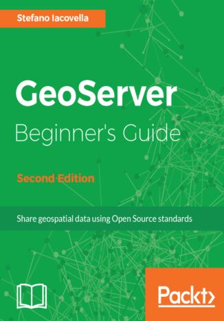
GeoServer Beginner's Guide. Share geospatial data using Open Source standards - Second Edition Stefano Iacovella

- Autor:
- Stefano Iacovella
- Wydawnictwo:
- Packt Publishing
- Ocena:
- Stron:
- 384
- Dostępne formaty:
-
PDFePubMobi
Opis
książki
:
GeoServer Beginner's Guide. Share geospatial data using Open Source standards - Second Edition
in Java that allows users to share, process,
and edit geospatial data. This book will
guide you through the new features
and improvements of GeoServer and will
help you get started with it. GeoServer
Beginner's Guide gives you the impetus to
build custom maps using your data without
the need for costly commercial software
licenses and restrictions. Even if you do
not have prior GIS knowledge, you will be
able to make interactive maps after reading
this book.
You will install GeoServer, access your data
from a database, and apply style points,
lines, polygons, and labels to impress site
visitors with real-time maps. Then you
follow a step-by-step guide that installs
GeoServer in minutes. You will explore
the web-based administrative interface
to connect to backend data stores such
as PostGIS, and Oracle. Going ahead, you
can display your data on web-based
interactive maps, use style lines, points,
polygons, and embed images to visualize
this data for your web visitors. You will
walk away from this book with a working
application ready for production.
After reading GeoServer Beginner's Guide,
you will be able to build beautiful custom
maps on your website using your geospatial
data.
Wybrane bestsellery
Packt Publishing - inne książki
Dzięki opcji "Druk na żądanie" do sprzedaży wracają tytuły Grupy Helion, które cieszyły sie dużym zainteresowaniem, a których nakład został wyprzedany.
Dla naszych Czytelników wydrukowaliśmy dodatkową pulę egzemplarzy w technice druku cyfrowego.
Co powinieneś wiedzieć o usłudze "Druk na żądanie":
- usługa obejmuje tylko widoczną poniżej listę tytułów, którą na bieżąco aktualizujemy;
- cena książki może być wyższa od początkowej ceny detalicznej, co jest spowodowane kosztami druku cyfrowego (wyższymi niż koszty tradycyjnego druku offsetowego). Obowiązująca cena jest zawsze podawana na stronie WWW książki;
- zawartość książki wraz z dodatkami (płyta CD, DVD) odpowiada jej pierwotnemu wydaniu i jest w pełni komplementarna;
- usługa nie obejmuje książek w kolorze.
Masz pytanie o konkretny tytuł? Napisz do nas: sklep@ebookpoint.pl
Książka drukowana

















Oceny i opinie klientów: GeoServer Beginner's Guide. Share geospatial data using Open Source standards - Second Edition Stefano Iacovella
(0)