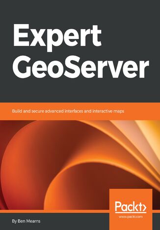
Expert Geoserver. Build and secure advanced interfaces and interactive maps Ben Mearns

- Autor:
- Ben Mearns
- Wydawnictwo:
- Packt Publishing
- Ocena:
- Stron:
- 134
- Dostępne formaty:
-
PDFePubMobi
Opis
książki
:
Expert Geoserver. Build and secure advanced interfaces and interactive maps
Next you'll delve into a very important technique to improve the speed of your map application—tile caching. Here, you'll understand how tile caching works, how to develop an effective tile cache-supported web service, and how to leverage tile caching in your OpenLayers web application.
Further on, you'll explore important tweaks to produce a performant GeoServer-backed web mapping application. Moving on, you'll enable authentication on the frontend and backend to protect sensitive map data, and deliver sensitive data to your end user. Finally, you'll see how to put your web application into production in a secure and user-friendly way. You'll go beyond traditional web hosting to explore the full range of hosting options in the cloud, and maintain a reliable server instance.
Wybrane bestsellery
Packt Publishing - inne książki
Dzięki opcji "Druk na żądanie" do sprzedaży wracają tytuły Grupy Helion, które cieszyły sie dużym zainteresowaniem, a których nakład został wyprzedany.
Dla naszych Czytelników wydrukowaliśmy dodatkową pulę egzemplarzy w technice druku cyfrowego.
Co powinieneś wiedzieć o usłudze "Druk na żądanie":
- usługa obejmuje tylko widoczną poniżej listę tytułów, którą na bieżąco aktualizujemy;
- cena książki może być wyższa od początkowej ceny detalicznej, co jest spowodowane kosztami druku cyfrowego (wyższymi niż koszty tradycyjnego druku offsetowego). Obowiązująca cena jest zawsze podawana na stronie WWW książki;
- zawartość książki wraz z dodatkami (płyta CD, DVD) odpowiada jej pierwotnemu wydaniu i jest w pełni komplementarna;
- usługa nie obejmuje książek w kolorze.
Masz pytanie o konkretny tytuł? Napisz do nas: sklep@ebookpoint.pl
Książka drukowana






Oceny i opinie klientów: Expert Geoserver. Build and secure advanced interfaces and interactive maps Ben Mearns
(0)