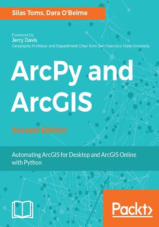
ArcPy and ArcGIS. Automating ArcGIS for Desktop and ArcGIS Online with Python - Second Edition Silas Toms, Dara OBeirne

- Autorzy:
- Silas Toms, Dara OBeirne
- Wydawnictwo:
- Packt Publishing
- Ocena:
- Stron:
- 272
- Dostępne formaty:
-
PDFePubMobi
Opis
książki
:
ArcPy and ArcGIS. Automating ArcGIS for Desktop and ArcGIS Online with Python - Second Edition
The second edition of the book focuses on new Python tools, such as the ArcGIS API for Python. Using Python, this book will guide you from basic Python scripting to advanced ArcPy script tools.
This book starts off with setting up your Python environment for ArcGIS automation. Then you will learn how to output maps using ArcPy in MXD and update feature class in a geodatabase using arcpy and ArcGIS Online. Next, you will be introduced to ArcREST library followed by examples on querying, updating and manipulating ArcGIS Online feature services. Further, you will be enabling your scripts in the browser and directly interacting with ArcGIS Online using Jupyter notebook. Finally, you can learn ways to use of ArcPy to control ArcGIS Enterprise and explore topics on deployments, data quality assurances, data updates, version control, and editing safeguards.
By the end of the book, you will be equipped with the knowledge required to create automated analysis with administration reducing the time-consuming nature of GIS.
Wybrane bestsellery
Packt Publishing - inne książki
Dzięki opcji "Druk na żądanie" do sprzedaży wracają tytuły Grupy Helion, które cieszyły sie dużym zainteresowaniem, a których nakład został wyprzedany.
Dla naszych Czytelników wydrukowaliśmy dodatkową pulę egzemplarzy w technice druku cyfrowego.
Co powinieneś wiedzieć o usłudze "Druk na żądanie":
- usługa obejmuje tylko widoczną poniżej listę tytułów, którą na bieżąco aktualizujemy;
- cena książki może być wyższa od początkowej ceny detalicznej, co jest spowodowane kosztami druku cyfrowego (wyższymi niż koszty tradycyjnego druku offsetowego). Obowiązująca cena jest zawsze podawana na stronie WWW książki;
- zawartość książki wraz z dodatkami (płyta CD, DVD) odpowiada jej pierwotnemu wydaniu i jest w pełni komplementarna;
- usługa nie obejmuje książek w kolorze.
Masz pytanie o konkretny tytuł? Napisz do nas: sklep@ebookpoint.pl
Książka drukowana















Oceny i opinie klientów: ArcPy and ArcGIS. Automating ArcGIS for Desktop and ArcGIS Online with Python - Second Edition Silas Toms, Dara OBeirne
(0)